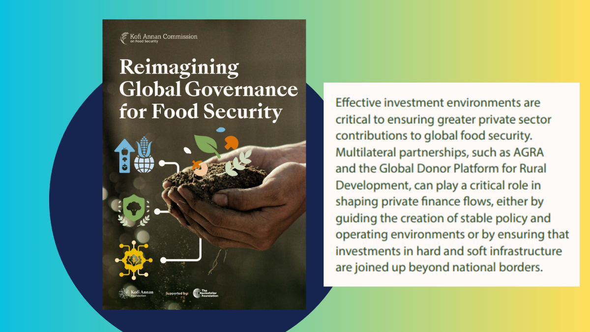
Technology innovations in mapping, clarifying and registering land bear great potential for tenure security and land administration worldwide.
Download
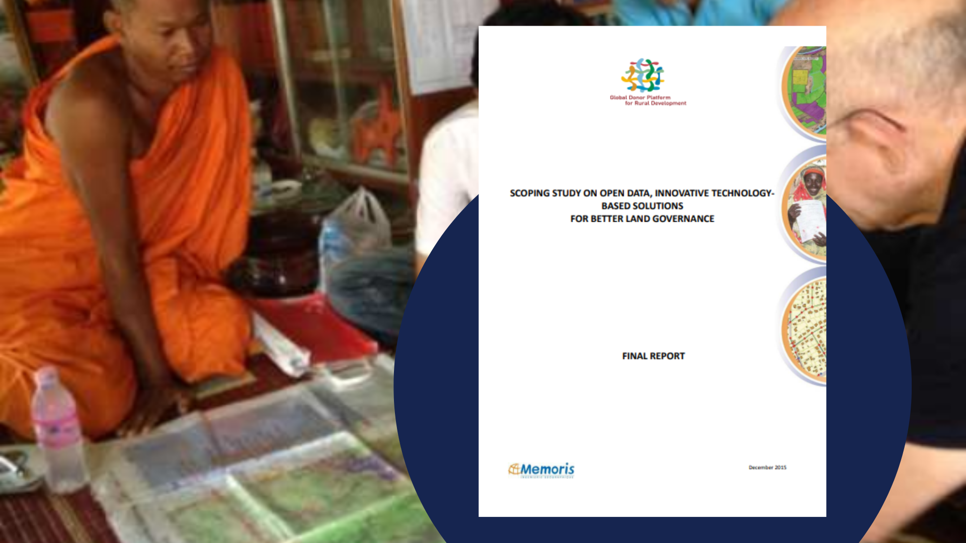
Technology innovations in mapping, clarifying and registering land bear great potential for tenure security and land administration worldwide. However, the current situation is characterized by an overwhelming number of isolated pilot mapping activities, with many not operating with open data and open source approaches, with software applications that are not interoperable and with lacking instructions for communities to continue utilizing theses technologies.
To tackle these weaknesses, the present report reviews the state of innovative technologies that have emerged during the past five to ten years in land governance projects, discusses their trends and highlights some recommendations for coordinated efforts by the donor community with the objective to strengthen the capacity of donors in identifying what is most useful in a given context to maximize impact, value for money and joined-up approaches. By combining both outdated and modern technologies for example, solutions that can achieve both productivity and inclusiveness can be facilitated.